Where the River Flows

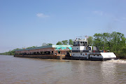
The next morning started overcast but quite warm. A 50% chance of rain meant we also had a 50% chance it wouldn't rain. Yeah, right. Our anchorage for the night was not yet decided, but a few options were available. The plan was to transit about 50 miles of the river before we stopped and 50 miles is not a long day for us. That's probably why we got a later start than usual; 
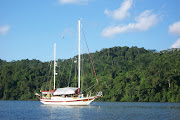
Beach House didn't get off the dock until almost 9 a.m. One of our neighbors from the night before, a sailboat, had already gotten underway, but we knew we would catch up later. The owner was singlehanding and also heading for Demopolis to leave his boat. Later in the day we would get quite an education in anchoring on a wide and deep river system.

The River Is Waiting

First I would like to apologize for our blog postings not being as timely as they have been in the past. There is a very good reason for that and I will do a post explaining why sometime in the future. Beach House still needed to get farther north to be sure we met our insurance requirements and to also give the crew peace of mind during this next hurricane season. The stay at Dog River Marina was nice and the chores and repairs we wanted to make were done early. The only delay was waiting for the chart chip for the plotter that covers the inland river systems. We came to the realization that our plotter only covered a small part of Mobile Bay and did not cover any of the inland rivers. So a new C-Map chip was ordered and, of course, the two-day shipping arrived in four days. Since it was delivered at about 10 a.m., the docklines were cast off and the trip up Mobile Bay and into downtown Mobile was made a little later than we liked, but still early enough to reach our first day's anchorage with time to spare.